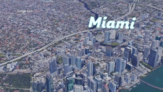
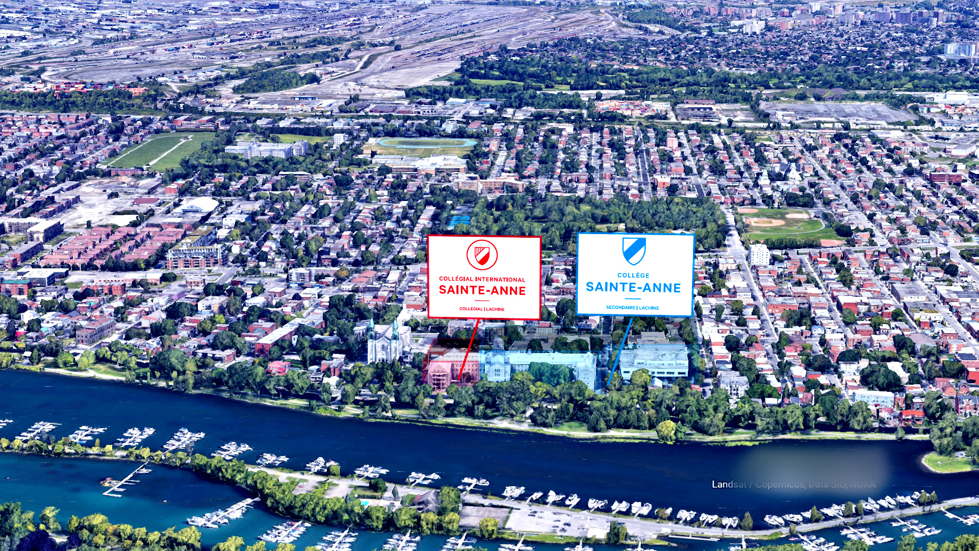
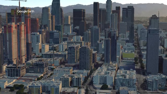
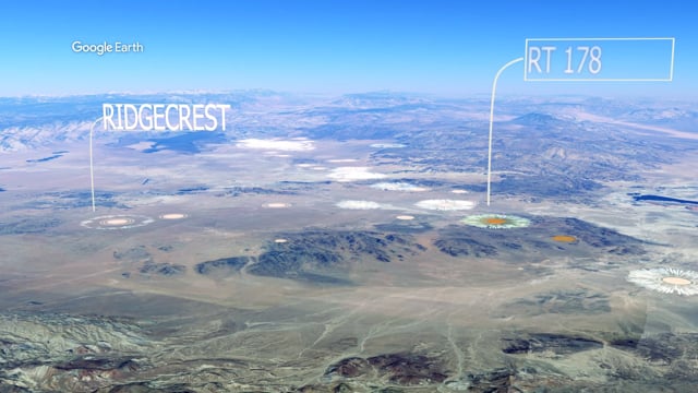
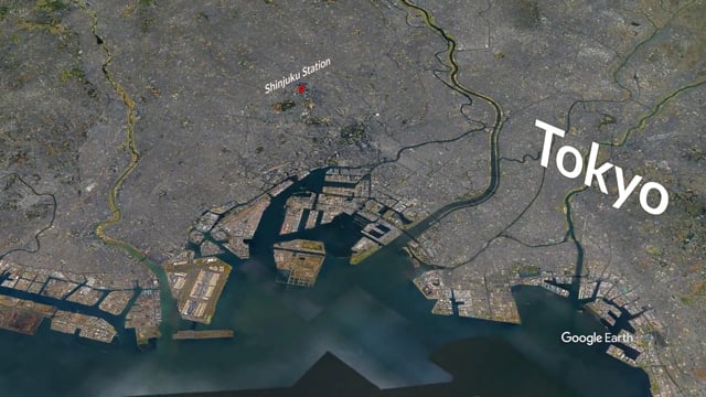
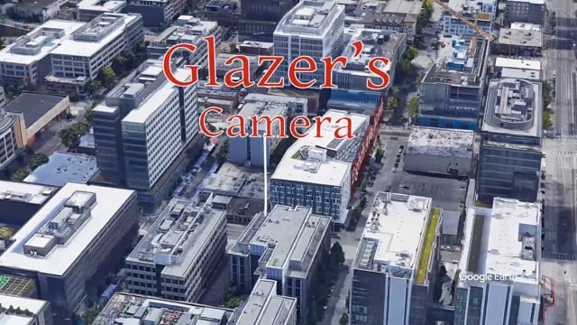
Before, during, and after property development stages can now be done multiple visual ways for maximum impact. Multiple sattelite imagery options and aerial photography for capturing data may be used. From smalll scale projects to large cityscapes and terrains a skilled technician can digitally reconstruct and composite to quickly communicate the essential elements of a site.

